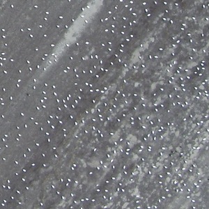
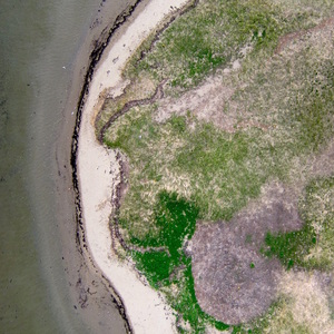
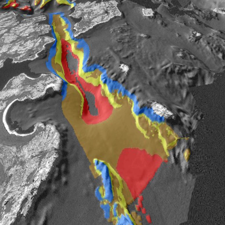
droneMetrics provides collection, processing and sophisticated analysis of high-resolution aerial sensor data. Our focus is on environmental, wildlife and natural resource applications, though our methods are also applicable to a variety of other sectors. You will not find a more uniquely skilled, experienced and industrious team to provide you with drone-based remote sensing services and value-added analytics. We hold ourselves to rigorous scientific standards and publish our innovative work in peer-reviewed journals. Contact us to find out what droneMetrics can do for you.

